3—Still Fighting It
Developing the Arkansas River at all costs

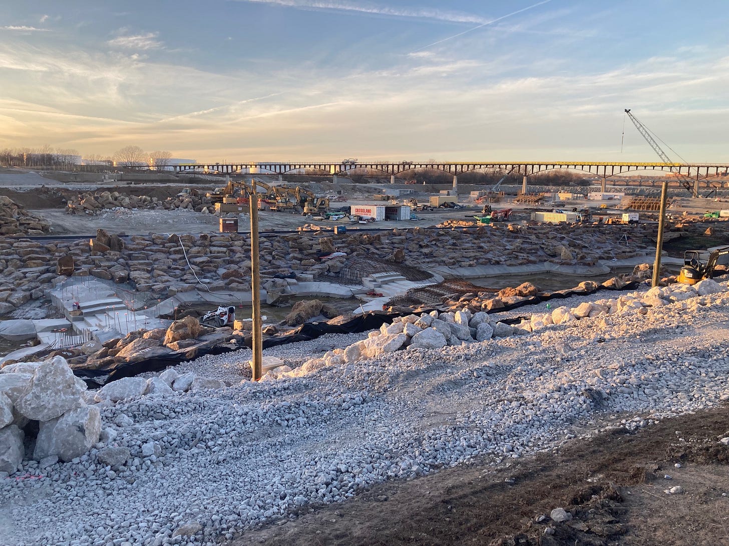
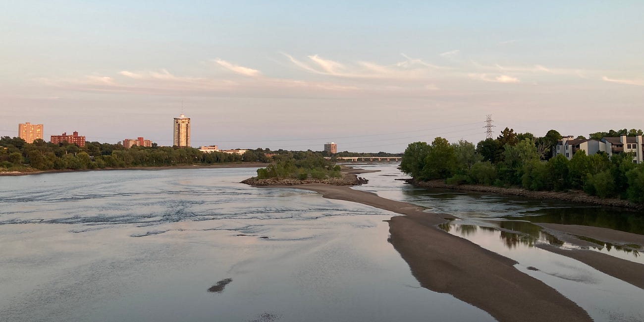
Tulsa has fought the Arkansas River for more than a century. Despite decades of frequent flooding,1 the city allowed the floodplain to be developed as if the river could be contained by the levees and Keystone Dam, located 15 miles upstream. After the dam’s completion in 1964, local tributaries delivered more destruction.
Repeat disasters including the deadly Memorial Day flood of 1984 pushed the city to buy out hundreds of flood-prone homes, establish a stormwater management program, and raise building standards in the regulatory floodplain. These efforts saved lives and reduced losses along local creeks but did little to address the Arkansas River. Writer Ann Patton, an early leader in Tulsa’s hazard mitigation program, called it “a huge, huge omission.”
Floodplain manager Ron Flanagan, who created Tulsa’s first master drainage plan and worked with the city for more than 50 years until his retirement in 2021, said Tulsa’s developers “hated” the concept of identifying floodplains and planning around them.
“That community ran the City of Tulsa,” Flanagan said. “We were the oil capital of the world, and Tulsa was dominated by people who exploited nature, drilling wells and et cetera—and they were not open to government being involved in regulating land. Tulsa just wasn’t into that.”
When Keystone reservoir fills to its flood control pool—a range of depths specific to the dam's capacity—the U.S. Army Corps of Engineers regulates the volume behind the dam by releasing water through the gates. These releases are measured in cubic feet per second, or cfs.
(A washing machine amounts to about 27 cubic feet. An Olympic-size swimming pool holds upwards of 88,280 cubic feet of water.)
As long as Keystone reservoir stays within its flood control pool, the Corps can maintain control of the gates: a necessity for preventing a catastrophic failure of Keystone Dam.2 However, the gates become inoperable when overtopped, or fully submerged.
In the rare event the reservoir rises beyond the flood control pool, the Corps will raise the gates as much as needed to keep them from overtopping, releasing immense volumes of water downstream in the process.3 The higher the gates, the greater the amount of water passing beneath them.
In the fall of 1986, weeks of heavy rainfall culminated in a 6-day downpour that filled Keystone reservoir three feet beyond its flood control pool.4 A record 307,000 cubic feet (about 3 ½ Olympic-size swimming pools) per second ripped down the Arkansas River. The flood carved a void 30 feet wide by 18 feet deep in Levee A5 and poured over portions of the west bank. Through Tulsa County, damages totaled more than $177 million in today’s money.
In the decades that followed, the Tulsa Metropolitan Area Planning Commission and City Council unanimously approved multiple requests to rezone tracts of land submerged in 1986 for residential development.

Nathan Foster, a principal planner with the Tulsa Planning Office, said allowing new subdivisions in areas that will flood again is “very typical” near the southernmost boundary of Tulsa. Over a phone call in November 2022, Foster interpreted a patchwork of commercial and residential zoning and development in the South Tulsa floodplain as I puzzled over the Tulsa Area Zoning Map.
“Just because something is in a floodplain, the City of Tulsa does not prohibit you from engineering your way out of it,” Foster said. “If a developer wants to hire an engineer to essentially find fill and other things to bring a property out of [the regulatory floodplain elevation], they can do that, while then also mitigating new stormwater runoff and improving storm drainage on the site.”
Foster described the process as “basically creating a way to then go and revise that floodplain map.”
The City of Tulsa gives developers so much power, their interests override concerns about quality of life and public health.
“It seems odd to let development occur where we know it will flood again,” I said.
“I understand your question,” Foster said. “I agree, it seems weird for developers to continue to build properties out of the floodplain when we’ve had such drastic flooding in the past. But they’re doing it only through those mechanisms that they’re allowed to, with the City of Tulsa Development Services Department and with FEMA, to essentially engineer their way out of the floodplain.”
Foster said the City of Tulsa gives developers so much power, their interests override concerns about quality of life, public health and environmental degradation as well as neighborhood feedback about “things that are important to people.” He said planners’ efforts to adopt modern, common-sense subdivision regulations, like stream buffers for natural waterways, “generally don’t make it through the political process” in Tulsa.
“When subdivisions are engineered this way, they’re also taking natural waterways and they’re channeling them,” Foster said. “They’re putting them underground. They’re eliminating natural streams that provide habitat, that provide filtering of the water, and instead putting them in concrete channels and sending them to the river. …
“And, unfortunately—it’s not just Tulsa, it’s a lot of places—but politically, people are not willing to take the rights of the property owner away, at the cost of allowing them to continue developing things like this within the river corridor.”
4—Channel Markers
After Hurricane Katrina destroyed New Orleans’ levee system in 2005, FEMA and the Corps raised safety standards for levees around the country. The Tulsa-West Tulsa Levee System became ineligible for federal insurance due to an ‘Unaccept…
If you’re new to Watershed, start at the beginning.
Support independent investigative journalism.
If you have the means, help us deliver essential reporting to everyone who needs access:
Subscribe for $7/month or $64/year.
Make a sustaining contribution at a higher level of your choice (choose Critical Mass and enter any amount above $64).
Purchase a gift or group subscription.
All free and paid subscribers will receive dispatches a few times per month: one or more full-on articles, plus updates and bonus content arriving more frequently. When the series winds down, I’ll let you know where I’m headed next. You can modify your subscription or cancel any time by logging in to your account. Thank you for your interest.
Reporters Committee for Freedom of the Press provides pro bono legal counsel for this series. You can support their work here.
Floods in Tulsa have killed dozens of residents, left thousands unsheltered and caused more than $1 billion in damages in today’s money.
For details about Keystone Dam and Tulsa’s Arkansas River flood probabilities, check out articles six and seven, “Wall of Water” and “The Pool of Record.”
Keystone Dam was designed to pass up to 939,000 cubic feet per second—more than three times the largest release during the 1986 flood—without overtopping. The Corps increased this estimate to 989,000 cubic feet per second in the early 1980s.
The release of record from the dam began at 4:35 p.m. on Oct. 4, 1986, and continued into the following morning at a rate of 307,000 cubic feet per second through Tulsa.
Keystone reservoir reached a new pool of record in the last week of May 2019, surpassing 1986 by 2.4 inches. I will describe the 2019 flood in greater detail in an upcoming article.
For essential information about Tulsa’s levees, read “The Known Unknowns.”


I still think you need to contact Rachel Maddow. She will be here later this fall for her book tour.
This picture of the Arkansas river is a total blight on our beautiful braided prairie river.